Uganda contains or borders five of Africa’s Great Lakes — Victoria, Albert, Edward, George, and Kyoga — a concentration of major freshwater bodies unmatched by any other country on the continent. These lakes are not simply geographical features: they are ecosystems of extraordinary biological diversity, water sources for tens of millions of people, trade routes of historical significance, and landscapes that shape the climate and ecology of the entire East African region. For visitors to Uganda, the lakes are an underappreciated dimension of a country that most people associate primarily with forests and mountain gorillas.
Lake Victoria: Africa’s largest lake
Lake Victoria is the largest lake in Africa by surface area and the world’s largest tropical freshwater lake, covering approximately 68,800 square kilometres across Uganda, Kenya, and Tanzania. The Ugandan shore stretches from Entebbe in the south to the Jinja area in the east, encompassing the Sese Islands archipelago — 84 islands ranging from small rocky outcrops to Bugala Island, which supports communities, accommodations, and forests worth exploring.
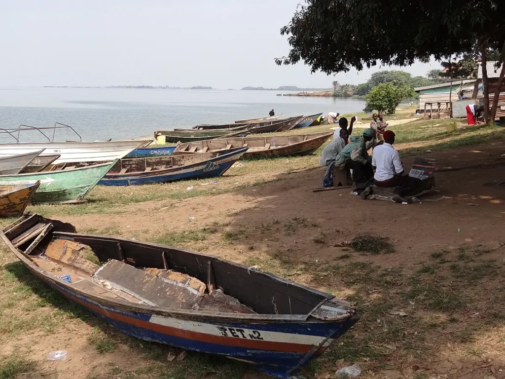
Victoria is the source of the White Nile, which exits at Jinja — the point where Owen Falls Dam now controls the outflow. The lake supports the largest freshwater fishery in Africa, centred on Nile perch and tilapia, and provides livelihoods for millions of fishing community members around its shores. The water hyacinth invasion that covered large portions of the lake’s surface in the 1990s has been partially controlled but remains a persistent management challenge, as do the effects of agricultural runoff, urban pollution, and overfishing.
For visitors, Lake Victoria is most accessible through Entebbe — most international visitors arrive here — and through the fishing towns of Jinja and Masaka. The Sese Islands, reached by ferry from Nakiwogo port near Entebbe or from Bukakata, offer a significantly different Uganda experience: quieter, water-centred, with forests on Bugala Island that support chimpanzees and over 100 bird species. A night or two on the Sese Islands bookending a gorilla trekking itinerary provides a pleasing contrast to the highland forest experience.
Lake Albert: the Rift Valley’s deepwater lake
Lake Albert occupies the floor of the western Albertine Rift, straddling the Uganda-DRC border. It receives water from the Victoria Nile (which flows through Murchison Falls before entering the lake) and from the Semliki River (which drains Lake Edward to the south), and discharges northward as the Albert Nile, which eventually joins the White Nile in Sudan.
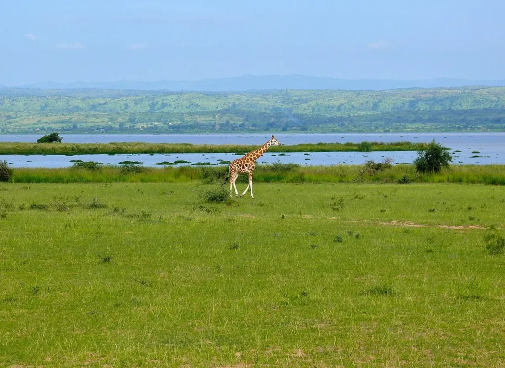
Lake Albert is deepest where the Rift Valley’s tectonic forces have pulled the earth’s crust apart — over 50 metres in places. Its fisheries support large communities along both the Ugandan and Congolese shores. The delta where the Victoria Nile enters the lake, north of Murchison Falls National Park, is one of the most reliable locations in East Africa for the shoebill stork — a prehistoric-looking bird that is one of Africa’s most sought-after wildlife sightings. Dugout canoe trips into the papyrus swamps of the delta reliably produce close shoebill encounters.
Lake Edward and the Kazinga Channel
Lake Edward sits at the heart of Queen Elizabeth National Park, connected to the smaller Lake George by the Kazinga Channel — a 32-kilometre natural waterway that is one of the most remarkable wildlife viewing locations in Africa. The Kazinga Channel boat trip, offered daily from the park’s main tourist facilities at Mweya, passes through water supporting the highest concentration of hippos per kilometre of any waterway on earth, alongside massive Nile crocodiles, elephants and buffalo drinking at the shore, and over 600 bird species that use the channel and surrounding wetlands.
Lake Edward is internationally significant for fisheries, supporting communities on both the Ugandan shore and the Congolese shore of Virunga National Park. The lake’s biological productivity reflects the nutrient-rich waters flowing down from the Rwenzori Mountains and the volcanic soils of the western Rift Valley. Hippos are both the lake’s most visible megafauna and an important ecological component — their dung input to the water column supports the aquatic food chain that sustains the fishery that communities depend upon.
The crater lakes of western Uganda
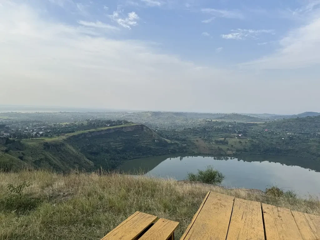
In addition to the Great Rift Valley lakes, Uganda’s western region contains over 50 crater lakes — small, deep lakes occupying the cones of extinct volcanoes in the Fort Portal and Kasese areas. These crater lakes range from the blood-red Lake Katwe (a soda ash lake rich in sodium carbonate, commercially mined since pre-colonial times) to the vivid blue-green Lake Nkuruba, now a community nature reserve, to Lake Nyinambuga near Fort Portal, accessible by forest walk.
The crater lakes district around Fort Portal is one of Uganda’s most scenic landscapes — a patchwork of deep blue and green lake surfaces set in crater-rim vegetation, surrounded by tea plantations, banana groves, and the distant profile of the Rwenzori Mountains. The area is easily accessed from Fort Portal town and makes a natural waypoint on itineraries combining Kibale Forest (chimpanzee trekking) with the western parks.
Lake Bunyonyi: the terraced jewel of the southwest
Lake Bunyonyi in southwestern Uganda — near Kabale, the closest major town to Bwindi’s Buhoma and Nkuringo sectors — is one of Africa’s deepest lakes and one of its most beautiful. The lake occupies a valley in the Kigezi highlands, surrounded by densely terraced hillsides farmed by the Bakiga people for centuries. Its 29 islands range from tiny rocky outcrops to larger islands with accommodations, community projects, and forest strips.
Bunyonyi is safe to swim in — unlike most Ugandan freshwaters, it is free of bilharzia (schistosomiasis) due to its acidity and depth. Canoeing, kayaking, and swimming are all practised here. The lake’s setting — among the densely cultivated hills of one of Uganda’s most populated agricultural areas — illustrates the human landscape that surrounds Uganda’s protected forests: a high-density, highly productive farming community that has coexisted with the national park boundary for generations.
A night or two at Bunyonyi before or after gorilla trekking at Bwindi provides a distinctive counterpoint to the forest experience: open water, long views across terraced hills, boat trips among the islands, and a sense of the agricultural communities whose relationship with the Bwindi forest is as important to gorilla conservation as any amount of ranger patrols or permit revenue.