Geography and Natural Features – Rwanda
Rwanda’s Physical Geography and Landscapes Explained
Rwanda Geography is a subject we explore in depth in this guide, drawing on direct experience and expertise from Uganda’s wildlife and safari industry.
Rwanda Geography is a subject we explore in depth in this guide, drawing on direct experience and expertise from Uganda’s wildlife and safari industry.
Rwanda is often called the “Land of a Thousand Hills,” a name that accurately reflects its rolling highlands, dramatic volcanic peaks, fertile valleys, and interconnected lakes. Despite its relatively small size, the country’s geography is remarkably diverse. Elevation plays a defining role in shaping Rwanda’s landscape, climate, agriculture, and wildlife ecosystems. Most of the country lies at an altitude above 1,000 meters, creating cooler temperatures compared to many equatorial African nations.
Rwanda’s natural features range from dense montane rainforests and bamboo-covered volcanoes in the northwest to open savannah plains in the east. Its western border is defined by Lake Kivu and the Albertine Rift Valley, while river systems feed into both the Nile and Congo basins. This varied geography supports exceptional biodiversity and positions Rwanda as one of East Africa’s most scenic and ecologically significant destinations.
So lace up your boots, grab your camera, and prepare to meet the wild — this is where your gorilla trekking dreams and unforgettable safari adventures truly begin.

The Virunga Mountain range dominates northwestern Rwanda. These ancient volcanoes form part of the Albertine Rift and include Mount Karisimbi, the country’s highest peak at 4,507 meters.
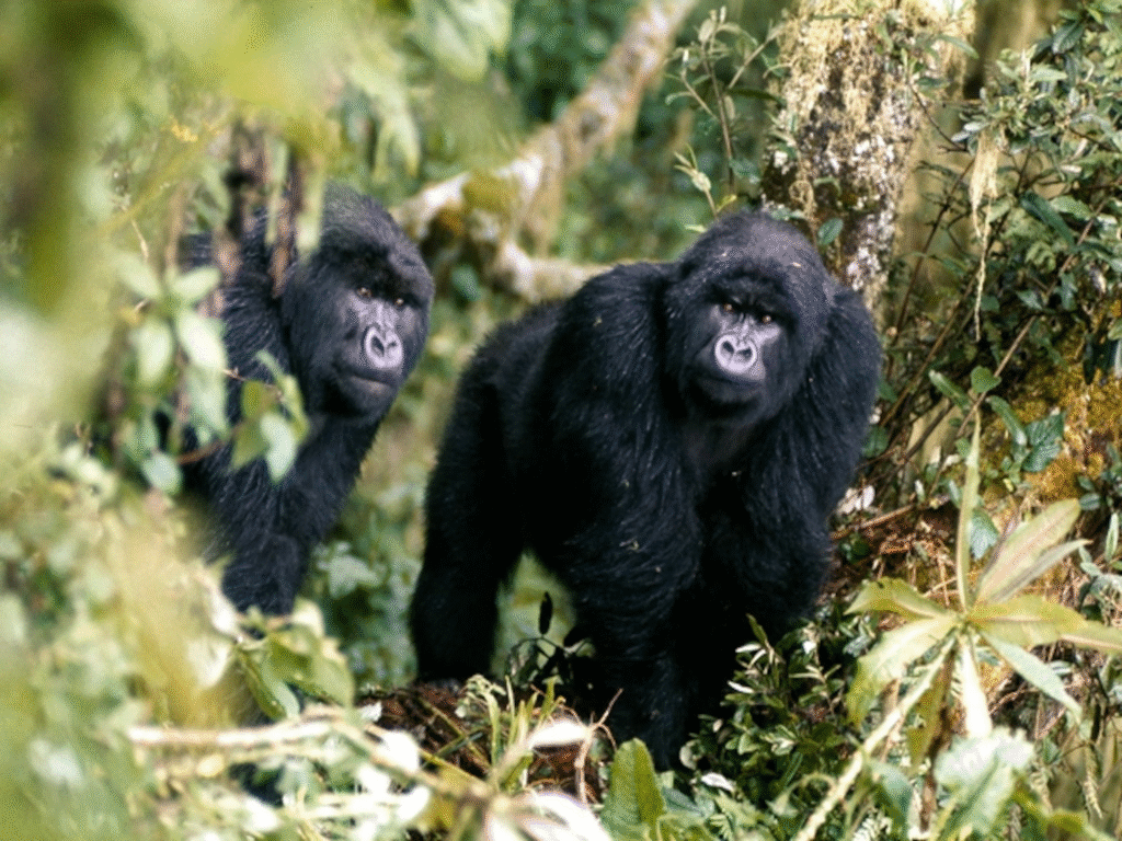
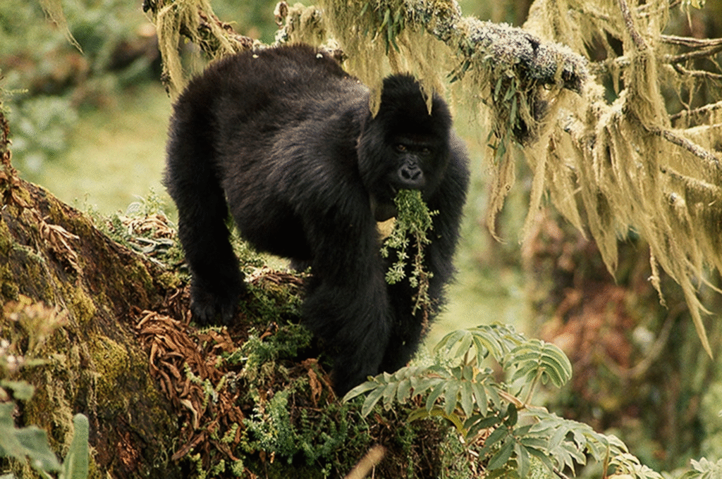
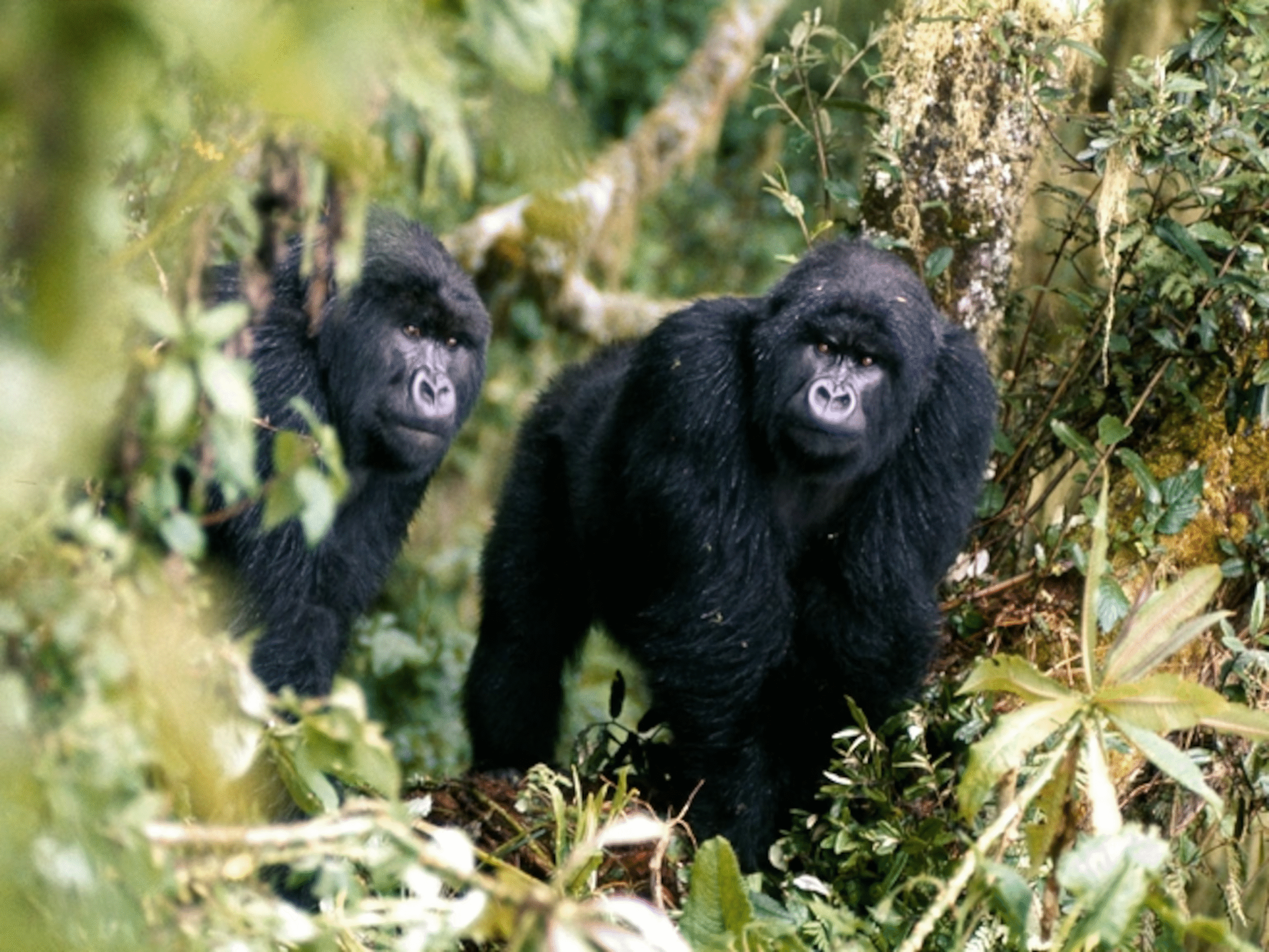
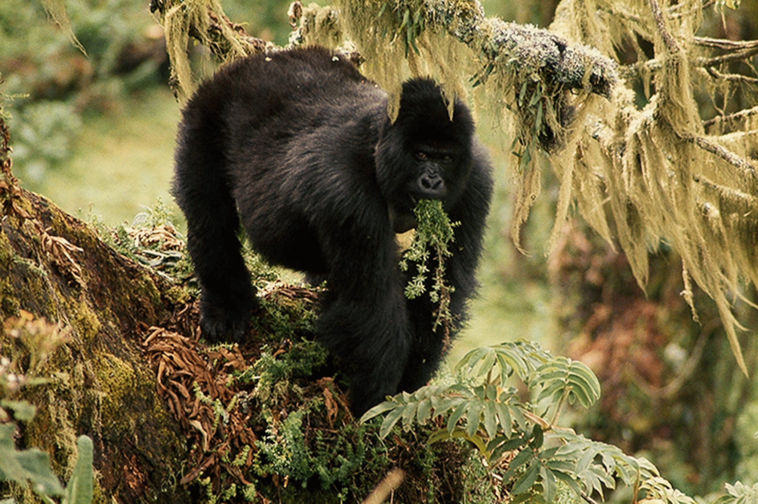
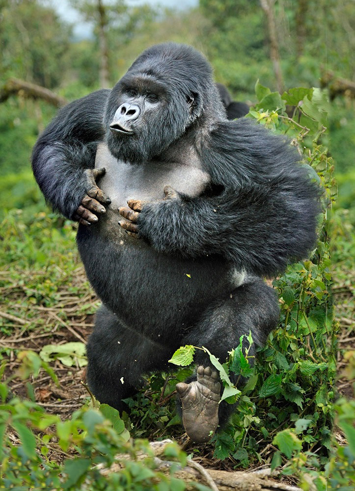
Volcanoes National Park protects much of this high-altitude ecosystem. The region is characterized by bamboo forests, afro-alpine vegetation, and mist-covered slopes. It is globally significant as habitat for endangered mountain gorillas.
Rwanda lies within the western branch of the East African Rift System, known as the Albertine Rift. This geological feature has shaped the country’s mountains, valleys, and lakes.
The rift valley contributes to Rwanda’s steep escarpments and deep lake basins, particularly along the western border. The region is also recognized as one of Africa’s biodiversity hotspots due to its concentration of endemic species.
Lake Kivu forms a natural border between Rwanda and the Democratic Republic of Congo. It is one of Africa’s Great Lakes and one of the deepest freshwater lakes on the continent.
The lake supports fishing communities, transportation routes, and growing tourism hubs such as Rubavu. Its calm waters, island-dotted scenery, and surrounding hills make it one of Rwanda’s most visually striking landscapes.
Nyungwe National Park protects one of Africa’s oldest montane rainforests. Located in the southwest, Nyungwe is characterized by steep ridges, dense canopy cover, waterfalls, and rich biodiversity.
The forest forms part of the Congo-Nile watershed divide, influencing major river systems. It plays a crucial role in water regulation and climate stability within the region.
In contrast to Rwanda’s mountainous west, the eastern region features flatter terrain and savannah ecosystems. Akagera National Park protects open plains, acacia woodland, lakes, and papyrus swamps.
This region represents Rwanda’s only true savannah landscape and supports large mammals including elephants, lions, giraffes, and antelope species. Wetland systems across the country also provide important habitats for birdlife and water filtration.
Rwanda’s high elevation makes it a critical watershed area. The country contributes water to both the Nile River basin and the Congo River basin.
Numerous small rivers originate in Rwanda’s hills, flowing into lakes and regional water systems. These waterways sustain agriculture, hydroelectric power generation, and biodiversity.
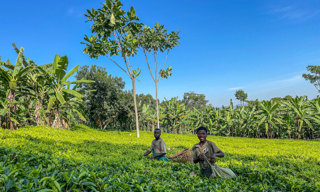
Volcanic soils in the northwest and fertile highland soils across central Rwanda support intensive agriculture. Terraced hillsides are common throughout rural areas, reflecting adaptation to steep terrain.
The country’s geography directly influences its agricultural patterns, settlement distribution, and infrastructure development.
Rwanda’s compact geography allows travelers to move quickly between distinct ecosystems — from rainforest and volcanoes to savannah and lakeshore — within a few hours.
The country’s rolling hills, dramatic escarpments, and layered landscapes define its national identity and tourism appeal.
From insider travel insights to unforgettable trekking guides, our blog is your trusted path into Uganda’s wild heart — connecting you with mountain gorillas, breathtaking landscapes, and the soul-stirring adventures that make this land unlike any other.