The drive from Kabale to Bwindi Impenetrable National Park’s Buhoma sector is approximately 55 kilometres and takes between two and three hours depending on road conditions, the season, and the driving style of your driver. It is not a fast road, and it is not meant to be. The landscape it passes through — the terraced Kigezi highlands, the valley floors of cultivated smallholder land, the hill crests with views toward Lake Bunyonyi, and the final descent into the forest — is among the most visually compelling in East Africa, and approaching Bwindi by road rather than by charter flight means arriving with the landscape already in your understanding rather than dropped into it from above.
Kabale as a base and staging point
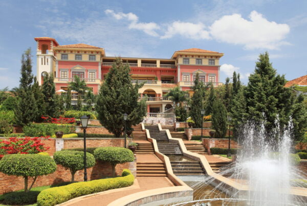
Kabale is the largest town in the Kigezi region and the most practical base for visitors arriving by road from Kampala or from Rwanda. The town sits at approximately 1,870 metres altitude — high enough that the temperature is noticeably cooler than Kampala, and arriving here from a warm lowland city feels like stepping into a different climate. Several guesthouses and hotels in Kabale range from budget options to a small number of comfortable mid-range properties. Spending a night in Kabale before continuing to Bwindi allows both acclimatisation and the early-morning start that puts you at the park gate in time for the 08:00 trekking briefing.
The Kabale to Bwindi road begins by dropping out of Kabale town toward the south, crossing the floor of a broad valley cultivated with matooke, sorghum, and vegetables before climbing again through the switchbacks that characterise every road in this terrain. The landscape is densely settled — the Kigezi highlands have some of the highest rural population densities in Uganda — and every cultivable slope is terraced and farmed to its maximum extent. The visual impression is of extraordinary human agricultural effort written across an entire mountain landscape.
Lake Bunyonyi: worth a detour
The road passes within reach of Lake Bunyonyi — a crater lake of extraordinary beauty set in the hills above Kabale. At 1,962 metres altitude, Bunyonyi is the second deepest lake in Africa and is studded with 29 islands, several of which are inhabited and accessible by traditional dugout canoe. A detour of 15–20 kilometres from the main Kabale–Bwindi road reaches the lake shore, and an hour or two on the water — paddling or being paddled — provides a completely different experience from the highland agricultural landscape of the road journey.
Lake Bunyonyi is bilharzia-free — a rarity among Ugandan lakes — which means that swimming is safe, and several lodges on the lakeshore offer both accommodation and water activities. If your itinerary has flexibility, spending a night at Bunyonyi before or after Bwindi adds a distinctly different Uganda experience to the gorilla trekking focus without requiring significant additional travel. The lake is approximately two hours from Buhoma by road, making it a realistic day trip from the gorilla region lodges.
The road condition reality
The Kabale–Bwindi road is paved for the majority of its length, with the final 15–20 kilometres approaching Buhoma on unpaved murram road. This unpaved section is well maintained by highland standards and is passable in a standard 4WD vehicle in most conditions, but becomes genuinely challenging in heavy rain when the red clay surface turns to deep mud and the camber of the road can cause vehicles to slide sideways on steeper sections.
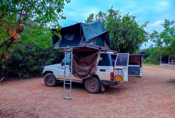
During the main wet seasons — March to May and October to November — allowing extra travel time is important, and your operator should have vehicles appropriate for wet conditions on this road. A 4WD with high clearance and good tyres handles the worst of the wet season road; a conventional saloon car does not. If you are self-driving, check road conditions with local contacts before attempting the road in the wet season and budget at least an extra hour for the journey.
Road improvement works have periodically upgraded sections of the Kabale–Bwindi road, and its condition in any given year may be better or worse than descriptions from even a year or two earlier. The Uganda Roads Authority has in recent years prioritised this route as part of the broader infrastructure investment in the gorilla tourism corridor, and significant sections that were unpaved in 2020 have since been tarmacked. Current conditions are best confirmed through your lodge or operator immediately before travel.
What you see along the way
The Bwindi road passes through a series of market towns and trading centres that are genuine windows into daily Kigezi life. Butogota — the last significant settlement before the park gate — has a weekly market that brings together farmers, traders, and craft sellers from across the surrounding area. If your timing allows, a half-hour stop at Butogota market on market day provides more immediate contact with local commerce and daily life than any organized cultural experience can offer.
The descent into the Ishasha River valley on the approach to Buhoma is marked by the visible transition from cultivated hillside to forest edge — the moment when the road enters the buffer zone around the park and the trees close in on both sides for the first time. This transition, from the busy human landscape of the highlands to the sudden quiet of forest-edge road, is a sensory preparation for what the park interior offers. Many visitors describe this final approach as one of the most atmospheric moments of the entire trip: the light changes under the forest canopy, the temperature drops perceptibly, and the sounds of the road — engine, wind, market noise — are replaced by bird calls and the occasional distant animal sound from the trees above.